“May you live in interesting times”
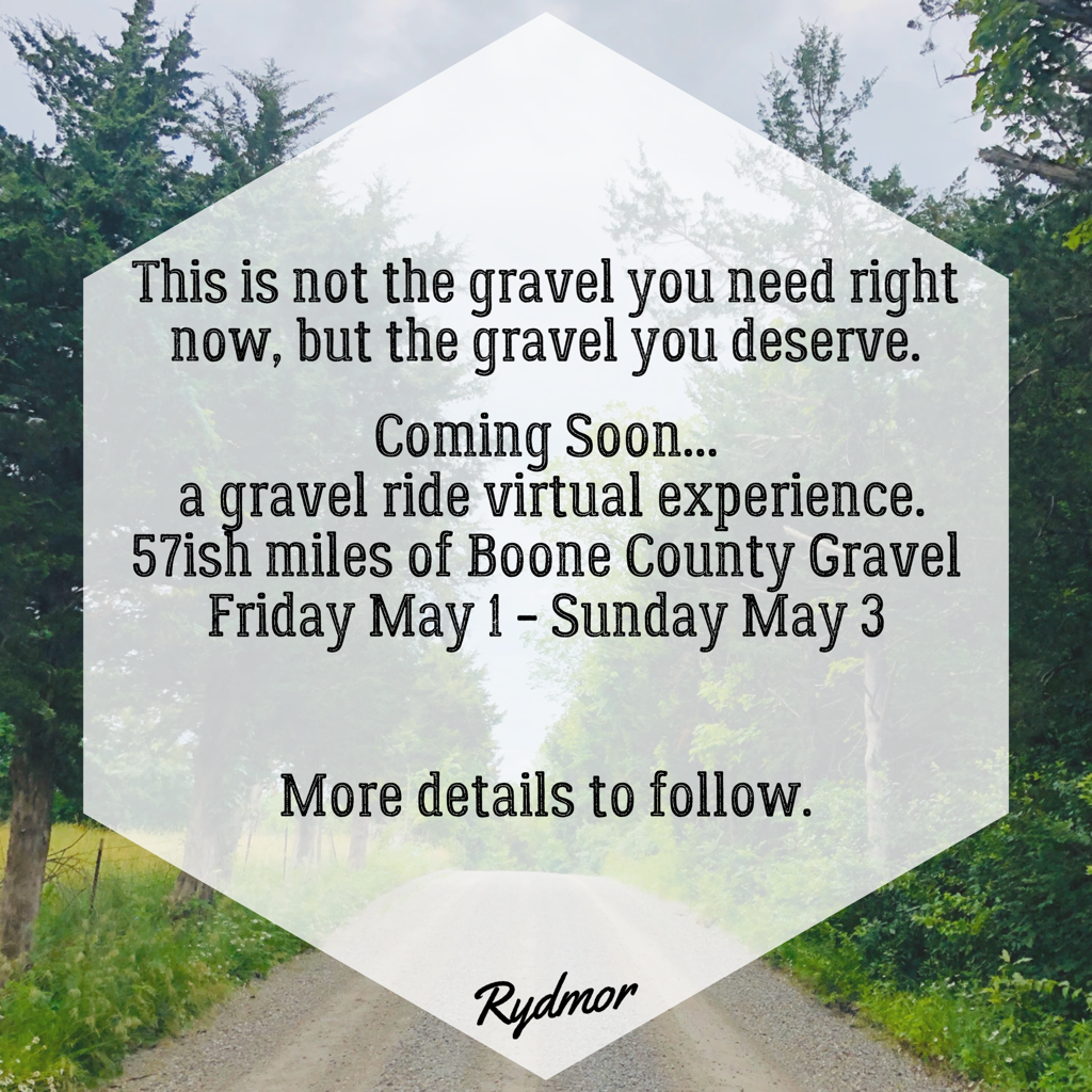
The cancellation or postponement of the spring gravel season has left a void. This is not the gravel you need right now, but the gravel you deserve.
Date: Friday May 1 - Sunday May 3.
Location: McBaine, MO
Route: 57ish Miles of NE Gravel Roads.
Format: the route will be posted in Garmin and Strava/Wahoo files. Ride the route anytime in the open window and upload to Strava. A segment is being created for the entire route and we will utilize the Strava Leaderboard for the results. These are open roads, so be safe. Please ride solo or keep a social distance to any other riders. This is for fun!
Route Files:
Course Notes:
This ain't no Zwift Race. I rode this course early Tuesday morning (4:25a). Like most of you gravel riders around Boone County, you've probably ridden most of these roads but not necessarily in this exact route. My Garmin recorded 4,341 feet of elevation - mostly due to the rollers throughout the route. Overall, I felt the route flowed very well and showcased the beauty of Central Missouri. The vast majority of the roads were smooth dirt/gravel. There were, of course, a few thicker/fresh gravel spots, but those were usually fairly short sections. Near Mile 35 you do jump on MO-240 for a minute or two. There is a (very) small shoulder, but please use caution and be smart on this paved road. The rest of the route should be pretty car free. Around Mile 47 you will be entering Rocheport. I did take the route past Abigail's and the General Store (no guarantee that they'll be open), before turning left (east) on 2nd Street. I carried 3 bottles on my bike and was fine. Be mindful to stay on course/segment to be recorded in the "results".
Have a great time! Email me if you have any questions: [email protected]
The cancellation or postponement of the spring gravel season has left a void. This is not the gravel you need right now, but the gravel you deserve.
Date: Friday May 1 - Sunday May 3.
Location: McBaine, MO
Route: 57ish Miles of NE Gravel Roads.
Format: the route will be posted in Garmin and Strava/Wahoo files. Ride the route anytime in the open window and upload to Strava. A segment is being created for the entire route and we will utilize the Strava Leaderboard for the results. These are open roads, so be safe. Please ride solo or keep a social distance to any other riders. This is for fun!
Route Files:
- Garmin: https://connect.garmin.com/modern/course/32446344
- Strava/Wahoo: https://www.strava.com/routes/25672632
- Segment: https://www.strava.com/segments/23694099
Course Notes:
This ain't no Zwift Race. I rode this course early Tuesday morning (4:25a). Like most of you gravel riders around Boone County, you've probably ridden most of these roads but not necessarily in this exact route. My Garmin recorded 4,341 feet of elevation - mostly due to the rollers throughout the route. Overall, I felt the route flowed very well and showcased the beauty of Central Missouri. The vast majority of the roads were smooth dirt/gravel. There were, of course, a few thicker/fresh gravel spots, but those were usually fairly short sections. Near Mile 35 you do jump on MO-240 for a minute or two. There is a (very) small shoulder, but please use caution and be smart on this paved road. The rest of the route should be pretty car free. Around Mile 47 you will be entering Rocheport. I did take the route past Abigail's and the General Store (no guarantee that they'll be open), before turning left (east) on 2nd Street. I carried 3 bottles on my bike and was fine. Be mindful to stay on course/segment to be recorded in the "results".
Have a great time! Email me if you have any questions: [email protected]