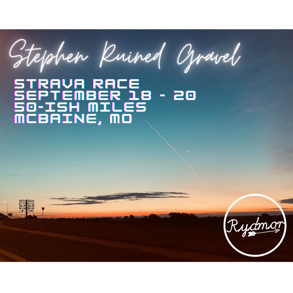
Date: Friday September 18 - Sunday Sept 20.
Location: McBaine, MO
Route: 50ish Miles of mixed terrain riding
Format: the route will be posted in Garmin and Strava/Wahoo files. Ride the route anytime in the open window and upload to Strava. A segment is being created for the entire route and we will utilize the Strava Leaderboard for the results. These are open roads, so be safe. Please ride solo or keep a social distance to any other riders. This is for fun!
Route Files:
Route: https://www.strava.com/routes/2741892399040969344
Segment:
https://strava.app.link/DB4PzZfDS9
Here it is!
I think the route is pretty straight forward (and fun!) the route is pretty simple through Ashland and down to Claysville. At Claysville, jump on the trail until a little before Hartsburg where you’ll get on Hartsburg Bottom Rd. As you head North the road becomes River Road. As you get to Wilton, stay on River Road versus hoping on the trail. Continue on River Road until south of Easley where Bonne Femme Creek meets Big Muddy. There you jump back on the Katy Trail and head north until about 1.3mi north of the Providence Access. There you will dismount and climb up Eagle Bluffs Outlook, take some singletrack East over your Warren School Road. Then return to McBaine via Mt Celestial and Route K.
Eagle Bluffs Note: when you get to the top of the stairs, stay to the right as if you’re going to the lookout. Then take the bridge to the left before you get there and it’ll take you to the singletrack. As you’re coming off the singletrack to the grass, stay to the left.